 Toponymy
85 Letters
Toponymy
85 Letters
Taumata: The 85-Letter Māori Toponym Decoded
An exhaustive analysis of the phonology, cultural heritage of Tamatea-pōkai-whenua, and official land registration of New Zealand's world-record hill name.
Detailed studies covering physical spans, construction logistics, historical toponymy, and geodetic measurements.
Toponymy
85 Letters
An exhaustive analysis of the phonology, cultural heritage of Tamatea-pōkai-whenua, and official land registration of New Zealand's world-record hill name.
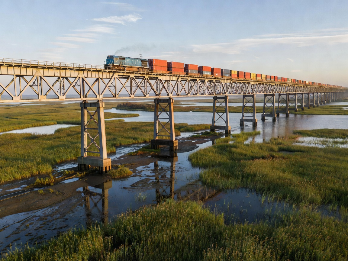 Civil Engineering
164.8 km / 102.4 mi
Civil Engineering
164.8 km / 102.4 mi
Geotechnical structural review of seismic dissipation piers, soft alluvial delta engineering, and the 9 km continuous Yangcheng Lake water crossing.
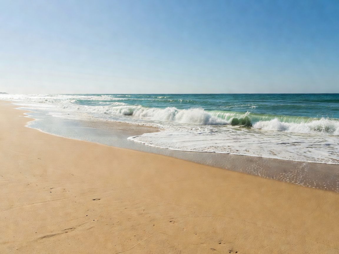 Coastal Morphology
254 km / 158 mi
Coastal Morphology
254 km / 158 mi
Investigation into the Holocene Barrier IV geological system in Rio Grande do Sul, the historical Altair shipwreck, and self-supported beach ultramarathons.
 Rail Logistics
9,289 km / 5,772 mi
Rail Logistics
9,289 km / 5,772 mi
From Yaroslavsky Station across 8 time zones to Vladivostok: Circum-Baikal engineering, permafrost subgrade challenges, and continental transit metrics.
 Subterranean Engineering
57.1 km / 35.5 mi
Subterranean Engineering
57.1 km / 35.5 mi
Traversing 2,300 meters beneath the Swiss Alps, this dual single-track railway tube is the deepest and longest subterranean transit line in global civil engineering.
 Aeronautic Corridor
15,348 km / 9,537 mi
Aeronautic Corridor
15,348 km / 9,537 mi
Documenting commercial aviation’s longest scheduled non-stop flight (SQ24/SQ23), navigating polar flight paths over 18 hours and 40 minutes continuously.
Official comparative database of verified maximum continuous lengths across physical geography, structural civil engineering, and linguistic taxonomy.
| Domain | Record Feature | Verified Length / Metric | Geographic / Territorial Domain | Verification Standard |
|---|---|---|---|---|
| Place Name | Taumatawhakatangihangakoauauotamatea... | 85 Characters | Hawke's Bay, New Zealand | LINZ / NZGB Gazetted |
| Viaduct Bridge | Danyang–Kunshan Grand Bridge | 164.8 km (102.4 mi) | Jiangsu Province, China | China Railway / Guinness Records |
| Ocean Beach | Praia do Cassino | 254.0 km (157.8 mi) | Rio Grande do Sul, Brazil | IBGE / Satellite Geodesy |
| Passenger Rail | Trans-Siberian Railway | 9,289.0 km (5,771.9 mi) | Moscow → Vladivostok (Russia) | RZD Route Chainage / UIC |
| Subsurface Tunnel | Gotthard Base Tunnel | 57.1 km (35.5 mi) | Swiss Alps (Erstfeld to Bodio) | AlpTransit Gotthard AG Survey |
| Scheduled Flight | Singapore Changi (SIN) → New York (JFK) | 15,348.0 km (9,536.8 mi) | Singapore / USA (Orthodromic) | IATA / Great Circle Mapper (WGS-84) |
| Continuous River | Nile River Basin System | 6,650.0 km (4,132.0 mi) | Northeastern Africa (11 Riparian States) | UNEP / Satellite Hydrographic Survey |
| Continental Mountain | Andes Mountain Range | 7,000.0 km (4,350.0 mi) | Western South America (7 Nations) | USGS / Global Digital Elevation Model |
| Surveyed Cave | Mammoth Cave System | 686.0 km (426.0 mi) | Kentucky, United States | Cave Research Foundation (CRF) |
| Ship Canal | Grand Canal of China (Da Yunhe) | 1,776.0 km (1,103.5 mi) | Beijing to Hangzhou, China | UNESCO World Heritage Survey |
How the Buzzpockt editorial board audits, validates, and archives length metrics across physical landforms, engineering structures, and linguistic toponyms.
All overland and oceanic distance calculations utilize the World Geodetic System 1984 ellipsoidal reference model, calculating orthodromic great-circle curves and planar offsets to eliminate map projection distortion.
Geodetic StandardsCoastal beach lengths (such as Praia do Cassino) are calibrated using Mean High Water Springs (MHWS) satellite imagery, accounting for sand spit shifts and excluding non-contiguous barrier inlets.
Hydrographic CalibrationRailway and viaduct lengths are verified through engineering chainage blueprints (picket kilometrage), subtracting non-structural approach earthworks to document continuous span metrics accurately.
Structural EngineeringLinguistic records are validated against statutory gazetteers (such as LINZ and the British Permanent Committee on Geographical Names), auditing grapheme counts, diacritics, and transliteration consistency.
Linguistic Toponymy